Central Texas reports scattered power outages as Winter Storm Fern brings ice, deep freezes and travel disruptions
Central Texas braces for prolonged cold as outages remain a risk
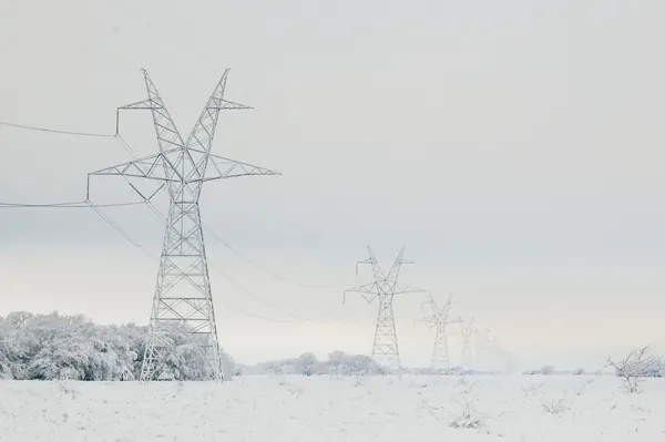
Central Texas reported scattered power outages over the weekend as Winter Storm Fern brought freezing rain, sleet and below-freezing temperatures across the region. Local emergency management and utility officials warned that even after precipitation tapered off, ice left on trees, power lines and roadways could keep conditions unstable and trigger additional outages as winds increase and temperatures remain low.
The Austin-Travis County Emergency Operations Center activated to coordinate the response, citing a Winter Storm Warning in effect through midday Sunday, Jan. 25, 2026, followed by an Extreme Cold Warning extending into Monday, Jan. 26. Officials said temperatures were expected to remain below freezing through the weekend, with overnight lows dropping into the teens and the potential for any daytime melting to refreeze after sunset.
Why ice drives outages: trees, lines and access issues
Electric crews in the Austin area responded to isolated outages overnight, with officials emphasizing that ice can affect all parts of the distribution system. Ice accumulation can load tree limbs and overhead lines, increasing the likelihood of branches breaking and making contact with energized equipment. Even when outages are limited, restoration can slow when roads are icy and equipment is affected by freezing conditions.
Across broader parts of Texas, outage activity varied by service territory. In one Central Texas cooperative area, outage counts fell substantially by midday as crews worked through the morning. In other parts of the state, utilities reported larger impacts where ice accumulation was heavier.
Transportation changes as officials urge residents to limit travel
With bridges and overpasses among the first surfaces to ice, local officials urged residents to avoid non-essential travel. Public transportation also adjusted service. CapMetro suspended all services beginning at 4 p.m. Saturday, Jan. 24, 2026, citing ice accumulation and safety concerns, while continuing limited support for transportation tied to cold-weather shelter operations.
Statewide grid posture: backup generation authorized through Jan. 27
As extreme cold increased electricity demand across the state, federal officials issued an emergency order allowing the state’s grid operator to direct certain large customers with on-site backup generation—such as data centers and major facilities—to operate those resources as a last resort. The authorization covers Jan. 25–27, 2026, and is intended to reduce the risk of emergency grid conditions during the storm period.
What residents should monitor
- Refreezing after any daytime warming, especially on bridges and shaded roadways
- Falling branches near service drops and neighborhood lines as ice sheds or winds rise
- Transit and city service updates as conditions change day to day
Officials have warned that conditions can worsen even after precipitation ends, as ice-laden trees and lines remain stressed and overnight temperatures keep surfaces frozen.
With subfreezing temperatures forecast to persist into the start of the workweek, emergency managers said residents should be prepared for intermittent disruptions, continue to limit travel where possible, and use official outage reporting tools if power is lost.