Austin warms slightly midweek before another arctic front brings renewed hard-freeze risk this weekend
A brief rebound after record-challenging cold
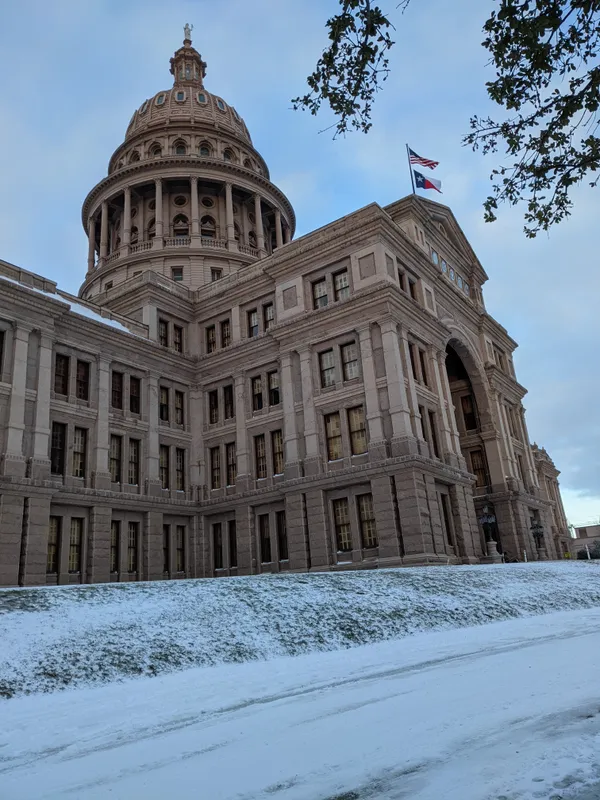
Central Texas is moving out of a late-January deep freeze with a modest warming trend expected through midweek. Forecasters expect afternoon temperatures in the Austin area to recover into the upper 40s and lower 50s Tuesday, followed by highs generally in the upper 50s to mid-60s on Wednesday and Thursday. Overnight temperatures, however, are forecast to remain cold, with morning lows commonly in the 20s and 30s across the region.
The recent cold snap brought conditions cold enough to challenge historical daily records in Austin. Clear skies and light winds allowed strong radiational cooling overnight—an efficient setup for temperatures to drop rapidly after sunset and bottom out near sunrise.
Another front late Thursday shifts the forecast again
Meteorologists are tracking a strong arctic cold front expected to push south into Texas by late Thursday evening. The front is forecast to arrive with gusty northerly winds and a sharp cool-down that will be felt first Friday and persist through the weekend.
At this time, widespread wintry precipitation is not expected with the late-week front in the Austin area because the better moisture is forecast to remain to the south and east. Still, the colder air behind the front is projected to be sufficient for another round of freezing mornings, particularly late Saturday night through early Monday.
How cold could it get, and when?
Current forecast guidance supports temperatures dipping back into the teens and 20s Sunday morning and again Monday morning across parts of Central Texas, with the coldest readings most likely in the Hill Country and typical cold-prone locations. Daytime highs are expected to be comparatively higher than the overnight lows, generally in the 40s and 50s Friday through Sunday, with some northern Hill Country communities potentially remaining in the upper 30s Saturday afternoon.
Wednesday–Thursday: Gradual warming, but cold mornings continue.
Late Thursday night: Arctic front arrives with gusty north winds and a quick temperature drop.
Friday–Sunday: Cold days and colder nights, with the hardest freeze risk late weekend into early next week.
Residual impacts: roads, fog, and city operations
As temperatures rise above freezing during the daytime, lingering ice from earlier precipitation episodes is expected to melt, improving travel conditions. Even so, isolated slick spots can persist on shaded roads, bridges, and less-traveled surfaces during the morning hours until temperatures climb.
With light winds and lingering surface moisture from melting sleet and ice, there is also a low-probability risk for patchy fog during the midweek mornings; if temperatures are at or below freezing, any fog that develops could be freezing fog in localized areas.
Looking beyond the weekend, warmer and more seasonable temperatures are expected to return early next week, while longer-range signals suggest another potential storm system could develop by the middle of next week.