Austin-area faces ice and prolonged hard freeze as late-evening forecast details overnight hazards
Winter weather intensifies across Central Texas late Saturday
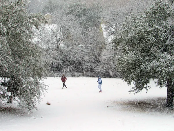
A winter storm affecting the Austin metro area and surrounding Hill Country was expected to intensify late Saturday, Jan. 24, with temperatures falling below freezing and precipitation increasingly likely to freeze on contact. Forecast guidance for the overnight period pointed to expanding hazardous travel conditions, with elevated concerns for bridges, overpasses and untreated roadways as freezing rain and sleet developed.
Weather alerts in effect for the region covered multiple Central Texas counties and were scheduled to remain in place through midday Sunday, Jan. 25, reflecting a combination of ice accumulation potential and an extended period of dangerously cold temperatures.
Timing: freezing temperatures, then icy precipitation
Conditions were expected to deteriorate most notably Saturday evening into early Sunday as colder air deepened across the region. Forecast timelines indicated that precipitation could transition from cold rain to freezing rain and sleet as surface temperatures fell to or below 32°F, increasing the likelihood of ice accretion on roads, elevated surfaces, trees and power lines.
Forecast scenarios for Central Texas called for ice accumulation in the warning area, with localized higher totals possible in parts of the Hill Country. Because temperatures were projected to remain below freezing for an extended stretch, any ice that formed was expected to melt slowly, prolonging impacts even after precipitation tapered.
Impacts: travel risks, power concerns, and extended cold
Emergency managers and transportation officials typically emphasize that even light ice can sharply reduce traction, especially overnight when visibility is limited and roadway temperatures are lowest. A key operational concern for the Austin region was the duration of subfreezing conditions, which can maintain slick spots into daytime hours and complicate de-icing efforts.
Ice loading on trees and lines can also increase the risk of scattered power interruptions, particularly when combined with wind. On Saturday afternoon, localized outages were reported in parts of Austin as the region moved deeper into the arctic air mass.
- Road conditions: greatest risk overnight and early Sunday; bridges and overpasses first to ice.
- Infrastructure: potential for tree limb damage and sporadic power outages where ice accumulates.
- Cold exposure: prolonged wind chills and hard-freeze conditions heighten hypothermia risk.
- Property: increased potential for frozen pipes during multiple consecutive nights below freezing.
What residents should watch overnight
Residents were urged to monitor changing conditions closely because small differences in temperature and precipitation rate can determine whether roads remain wet, become slushy, or glaze over. The most consequential variable for overnight impacts was whether freezing rain persisted long enough to produce meaningful ice accretion before precipitation ended Sunday morning.
Key thresholds overnight: sustained subfreezing temperatures, periods of freezing rain, and any increase in wind that can worsen outages and exposure risk.
With the warning period extending into Sunday, the central issue for the Austin area was not only the onset of ice, but how long it would linger amid an extended hard freeze expected to continue into early next week.