Arctic front targets Austin this week, raising risk of wintry mix, hard freeze, and travel hazards
What’s changing in Central Texas
Central Texas is tracking a sharp shift from seasonable winter weather to a colder, more volatile pattern as an arctic air mass pushes toward the region late this week. Forecast guidance indicates the front will arrive after a brief midweek warmup and rain chances, setting up a window in which precipitation could overlap with subfreezing surface temperatures in parts of the Austin area.
When cold air arrives fast and shallow, it can undercut warmer air aloft. That temperature layering is a key ingredient for a wintry mix, which can include sleet and freezing rain. Even light icing can create major road impacts in Austin, where bridges and overpasses tend to freeze first.
Timing: when the front is expected to arrive
Statewide forecasts point to an arctic surge reaching North Texas first, then sliding south into Central Texas during Friday into Saturday, followed by the coldest conditions settling in over the weekend. A broader freeze risk is expected to expand into Saturday night and Sunday morning, when temperatures typically bottom out.
Because exact impacts depend on the front’s speed and the placement of the heaviest precipitation, the highest-confidence element at this stage is the temperature drop. Confidence in the details of any wintry accumulation remains lower, with meaningful changes possible from one forecast cycle to the next.
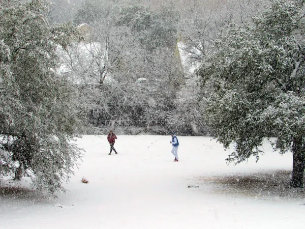
What “wintry mix” could mean for Austin
The highest-impact scenario for the metro is not necessarily heavy snow, but a narrow band of freezing rain or sleet occurring during the coldest part of the event. In Central Texas, that can create a patchwork of slick spots that is difficult to anticipate street by street. A wintry mix also increases the risk of localized power disruptions if ice loads build on trees and lines, particularly when combined with gusty winds.
Key risks to monitor
Road conditions, especially elevated surfaces such as bridges, flyovers and untreated side streets.
Overnight and early-morning freezes that can affect pipes, pets, and people without reliable heat.
Rapid changes in precipitation type as temperatures hover near freezing.
Potential for isolated outages if icing and wind occur together.
How officials typically respond during winter events
When wintry precipitation is anticipated, local and state transportation crews generally focus on pretreating major routes and prioritizing emergency corridors. Residents can expect public messaging to emphasize limiting travel during the most hazardous periods, particularly around commute hours if precipitation overlaps with freezing temperatures.
Forecast uncertainty is highest several days out. The most important updates will come as the front gets within 24–48 hours of Austin and precipitation timing becomes clearer.
For Central Texas, the practical takeaway is to prepare for a cold weekend with at least some travel risk potential, and to watch for updated advisories as confidence grows on whether Austin’s event stays cold-and-dry or becomes a wintry mix episode.